 Combining SAR Measurements, Models, Lidar and Artificial Intelligence
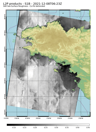
Offshore wind resource assessment (WRA) is a challenge due to the scarcity of measurements at hub height. The 18-year database of European synthetic aperture radars (SAR) provides worldwide sea surface wind measurements at 1-kilometre resolution. Through an innovative vertical extrapolation methodology these long-term, wide, high-resolution observations can complement in situ observations and mesoscale modelling for offshore WRA. The methodology is based on four steps: derivation of the 10-minute SAR surface winds from SAR sea surface roughness, a site- and time-independent machine learning algorithm based on a large buoy network to correct SAR surface winds, extrapolation up to 250 metres based on a second machine learning algorithm trained with in situ observations and physical parameters from a high-resolution mesoscale model related to atmospheric stability, and a final post-processing step to correct for low temporal sampling of the SAR database and to retrieve wind statistics.
By Mauricio Fragoso, Director, Energies and Infrastructure Monitoring, CLS, France


