Drone-Borne Magnetic Technologies Provide New Opportunities for Mapping of UXO
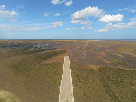
 Clearing of unexploded ordnance (UXO) is critical for the safe construction of offshore wind farms in old war zones. While most UXO is ferrous, the preferred mapping technique is by magnetic sensors. These are towed behind vessels in the offshore area, while a combination of small survey boats, all-terrain vehicles and walking personnel are often used to cover the near- and onshore cable landing point area. However, intertidal zones, such as the edges around the North Sea, are notoriously difficult to access by traditional mapping platforms. As a consequence, mapping of intertidal UXO is often incomplete and imprecise, which causes delays during the UXO clearing operation or, worse, safety issues and delays once the construction of the wind farm has begun. In this article, we present a case study by UMag Solutions and Ørsted from Hornsea II in the UK and explain the power of drone-borne magnetic mapping of intertidal UXO.
By Arne Døssing Andreasen, CEO, UMag Solutions, Denmark
